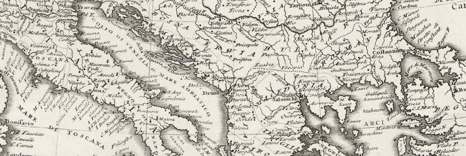
Mapping the Mediterranean
15.05.2025
The Department of Historical, Geographical, and Antiquity Sciences (DiSSGeA) of the University of Padua is organising an international conference on May 26 and 27, in collaboration with the Museum of Geography. The conference is dedicated to innovative approaches to the use of historical cartography in various fields of research, including the study of the impact of war episodes on the landscape, the genesis of medieval cartography, and long-term agricultural and manufacturing transformations.
During the event, titled "Mapping the Mediterranean. Innovative approaches to historical cartography (13th-20th century)", the historical cartographic representation of various natural and human events within the context of Mediterranean regions will be explored, utilising modern techniques such as GIS analysis and critical cartography. Covering a timespan from the latter half of the 13th century to the first half of the 20th century, Italian and Croatian researchers will present their studies.
The conference will be held in English at the Museum of Geography in Padua, located at Via del Santo 26. The programme includes a guided tour of the Museum of Geography, the cartographic collection of DiSSGeA, and the historic centre of Padua on the first day, followed by eight presentations and discussions by speakers on the second day.
Participation requires mandatory reservation.