Presentation of MapFly
13.12.2021
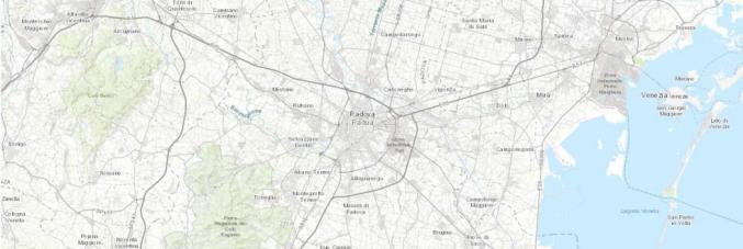
Mapfly portal is online.Mapfly is a webGIS catalog that allows to search on a geographic basis 30,000 geothematic and historical maps held by the University of Padua, retrieve the copy in the library, or view and download the reproduction when copyright permits
Presentation of the news project takes place on Thursday December 16, 2021, at 4:30 p.m. at theGeosciences Library of the Department of Geosciences, University of Padova, via Gradenigo 6(to participate, write to biblio.geoscienze@unipd.it) and online with Zoom.
The MapFly project was developed in 2021 as a collaboration of the following departments of the University of Padova, thanks also to funding by Infrastrutture Immateriali di Ricerca Bando 2019: Department of Geosciences, Department of Historical and Geographic Sciences and the Ancient World, Department of Civil, Environmental and Architectural Engineering, Department of Cultural Heritage and Centro d’Ateneo per le Biblioteche.
The University of Padova claims an impressive cartographic heritage, dated from 1668 to the present day, distributed in various Libraries and Departments and not yet known as it deserves. In particular, the Geography and Geosciences Libraries preserve over 40,000 maps of various types, from topographic and geographical maps to geological, geothematic and historical maps. Thanks to the Mapfly Project this cartographic heritage is made available to the public (fall 2021) through the creation of a WebGIS portal. This allows us to verify the presence of maps for the area of interest by searching the basemap. As it regards historical cartography in the public domain, it also allows to view the georeferenced digital reproduction on the web and proceed with the download of the same in the form of a file (GeoTIF) to be used locally on a GIS device (including maps published in “Memorie di Scienze Geologiche”).